Dodgson Lane
Introduction
The photograph on this page of Dodgson Lane by Chris Heaton as part of the Geograph project.
The Geograph project started in 2005 with the aim of publishing, organising and preserving representative images for every square kilometre of Great Britain, Ireland and the Isle of Man.

There are currently over 7.5m images from over 14,400 individuals and you can help contribute to the project by visiting https://www.geograph.org.uk
Dodgson Lane
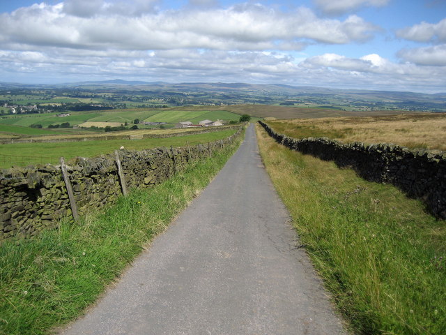
Image: © Chris Heaton Taken: 7 Aug 2007
Gives access from Dodgsons Farm to the Skipton/Colne moor road. It affords fabulous views across the Aire Gap, with Pen y Ghent and Ingleborough visible on the skyline.
Images are licensed for reuse under creativecommons.org/licenses/by-sa/2.0
Image Location
Latitude
53.911186
Longitude
-2.105305