The Dash, Longcot 1993
Introduction
The photograph on this page of The Dash, Longcot 1993 by Tamasine Stretton as part of the Geograph project.
The Geograph project started in 2005 with the aim of publishing, organising and preserving representative images for every square kilometre of Great Britain, Ireland and the Isle of Man.

There are currently over 7.5m images from over 14,400 individuals and you can help contribute to the project by visiting https://www.geograph.org.uk
The Dash, Longcot 1993
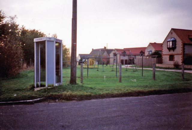
Image: © Tamasine Stretton Taken: Unknown
Play park, with monkey bars, swings, etc. at the top of The Dash, Longcot. Also shows payphone and track and housing in the background.
Images are licensed for reuse under creativecommons.org/licenses/by-sa/2.0
Image Location
Latitude
51.616542
Longitude
-1.607968