Road by Linnhead
Introduction
The photograph on this page of Road by Linnhead by Richard Webb as part of the Geograph project.
The Geograph project started in 2005 with the aim of publishing, organising and preserving representative images for every square kilometre of Great Britain, Ireland and the Isle of Man.

There are currently over 7.5m images from over 14,400 individuals and you can help contribute to the project by visiting https://www.geograph.org.uk
Road by Linnhead
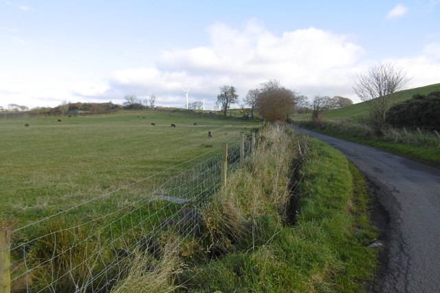
Image: © Richard Webb Taken: 6 Nov 2016
One of a network of yellow roads between Neilston and Dunlop crossing hills of igneous rock. There has been a lot of recent wind turbine erection around here.
Images are licensed for reuse under creativecommons.org/licenses/by-sa/2.0
Image Location
Latitude
55.752616
Longitude
-4.491839