New flood relief system, next to Horncastle Road and Louth bypass: aerial 2016
Introduction
The photograph on this page of New flood relief system, next to Horncastle Road and Louth bypass: aerial 2016 by Chris as part of the Geograph project.
The Geograph project started in 2005 with the aim of publishing, organising and preserving representative images for every square kilometre of Great Britain, Ireland and the Isle of Man.

There are currently over 7.5m images from over 14,400 individuals and you can help contribute to the project by visiting https://www.geograph.org.uk
New flood relief system, next to Horncastle Road and Louth bypass: aerial 2016
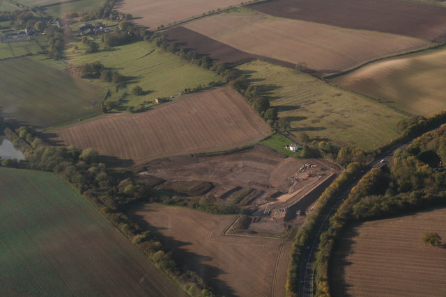
Image: © Chris Taken: 13 Nov 2016
Bypass right, disused railway left, the errant River Lud horizontally across the shot.
Images are licensed for reuse under creativecommons.org/licenses/by-sa/2.0
Image Location


Leaflet Map data © OpenStreetMap
Latitude
53.353392
Longitude
-0.027134