View from near Busk
Introduction
The photograph on this page of View from near Busk by Oliver Dixon as part of the Geograph project.
The Geograph project started in 2005 with the aim of publishing, organising and preserving representative images for every square kilometre of Great Britain, Ireland and the Isle of Man.

There are currently over 7.5m images from over 14,400 individuals and you can help contribute to the project by visiting https://www.geograph.org.uk
View from near Busk
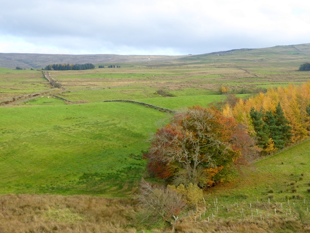
Image: © Oliver Dixon Taken: 11 Nov 2016
Looking eastwards over the nearby valley of Swarthgill Beck. In the middle distance to the left the double line of walls bounds the byway which forms the off-road route of the C2C cycle route. Beyond is the North Pennine Escarpment. Towards the top it is just possible to make out White Cottage Image whilst on the skyline is the Hartside Cafe Image
Images are licensed for reuse under creativecommons.org/licenses/by-sa/2.0
Image Location
Latitude
54.774574
Longitude
-2.601105