Harrow Place
Introduction
The photograph on this page of Harrow Place by Gerald England as part of the Geograph project.
The Geograph project started in 2005 with the aim of publishing, organising and preserving representative images for every square kilometre of Great Britain, Ireland and the Isle of Man.

There are currently over 7.5m images from over 14,400 individuals and you can help contribute to the project by visiting https://www.geograph.org.uk
Harrow Place
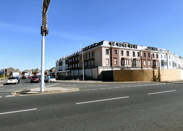
Image: © Gerald England Taken: 29 Aug 2016
The Abbeydale Care Home Image on the corner of Harrow Place and New South Promenade was closed in 2013 over concerns about standards of care http://www.bbc.co.uk/news/uk-england-lancashire-22781073 Now it seems the wall surrounding it has been demolished and the building is still boarded up.
Images are licensed for reuse under creativecommons.org/licenses/by-sa/2.0
Image Location


Leaflet Map data © OpenStreetMap
Latitude
53.782445
Longitude
-3.057456