The Nevill Arms, New End
Introduction
The photograph on this page of The Nevill Arms, New End by Simon Jobson as part of the Geograph project.
The Geograph project started in 2005 with the aim of publishing, organising and preserving representative images for every square kilometre of Great Britain, Ireland and the Isle of Man.

There are currently over 7.5m images from over 14,400 individuals and you can help contribute to the project by visiting https://www.geograph.org.uk
The Nevill Arms, New End
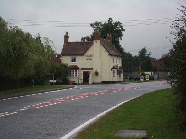
Image: © Simon Jobson Taken: 10 Sep 2005
Only just within this grid square, the Nevill Arms pub at the junction of the A441 and the Salt Way (B4090), New End, is a recognisable local landmark.
Images are licensed for reuse under creativecommons.org/licenses/by-sa/2.0
Image Location


Leaflet Map data © OpenStreetMap
Latitude
52.239067
Longitude
-1.926734