Fremantle Square, Bristol
Introduction
The photograph on this page of Fremantle Square, Bristol by Derek Harper as part of the Geograph project.
The Geograph project started in 2005 with the aim of publishing, organising and preserving representative images for every square kilometre of Great Britain, Ireland and the Isle of Man.

There are currently over 7.5m images from over 14,400 individuals and you can help contribute to the project by visiting https://www.geograph.org.uk
Fremantle Square, Bristol
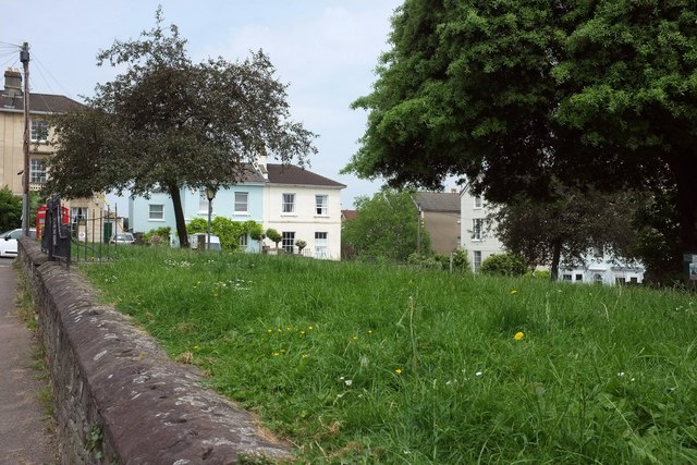
Image: © Derek Harper Taken: 10 Jun 2016
A plaque Image] by the railings on the left describes Priors Hill Fort, located near here and a Civil War defence. On the left is a listed K6 telephone kiosk https://www.historicengland.org.uk/listing/the-list/list-entry/1372264 .
Images are licensed for reuse under creativecommons.org/licenses/by-sa/2.0
Image Location
Latitude
51.464192
Longitude
-2.592591