Thornton-in-Craven
Introduction
The photograph on this page of Thornton-in-Craven by Paul Anderson as part of the Geograph project.
The Geograph project started in 2005 with the aim of publishing, organising and preserving representative images for every square kilometre of Great Britain, Ireland and the Isle of Man.

There are currently over 7.5m images from over 14,400 individuals and you can help contribute to the project by visiting https://www.geograph.org.uk
Thornton-in-Craven
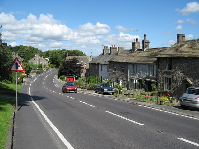
Image: © Paul Anderson Taken: 6 Aug 2007
Thornton in Craven is a small village on the main A56 with the Pennine Way passing through its centre.
Images are licensed for reuse under creativecommons.org/licenses/by-sa/2.0
Image Location
Latitude
53.933078
Longitude
-2.142371