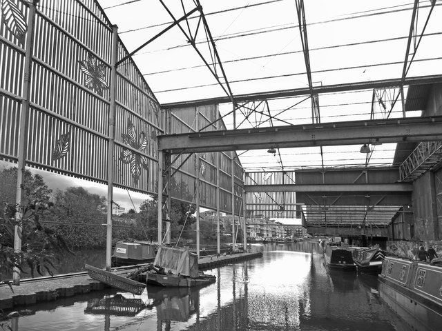
Moored under the Rafters
Introduction
The photograph on this page of Moored under the Rafters by Des Blenkinsopp as part of the Geograph project.
The Geograph project started in 2005 with the aim of publishing, organising and preserving representative images for every square kilometre of Great Britain, Ireland and the Isle of Man.
There are currently over 7.5m images from over 14,400 individuals and you can help contribute to the project by visiting https://www.geograph.org.uk

Image: © Des Blenkinsopp Taken: 10 Nov 2016
This was formerly a covered dock basin where canal boats could load in the dry. It is now in a fairly derelict condition in the midst of an area full of smart new apartment blocks. A few people are living on their boats in the basin, and someone has put in some fancy decorative ironwork on the sides, but overall it's a bit of a rust heap and may have an uncertain future. Although it's been like this for years and hasn't gone yet.

