Stanmore Crescent, Carterton, Oxon
Introduction
The photograph on this page of Stanmore Crescent, Carterton, Oxon by P L Chadwick as part of the Geograph project.
The Geograph project started in 2005 with the aim of publishing, organising and preserving representative images for every square kilometre of Great Britain, Ireland and the Isle of Man.

There are currently over 7.5m images from over 14,400 individuals and you can help contribute to the project by visiting https://www.geograph.org.uk
Stanmore Crescent, Carterton, Oxon
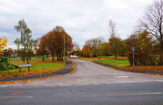
Image: © P L Chadwick Taken: 6 Nov 2016
Photographed from its junction with Upavon Way (B4477 road). In the distance, the road going off on the right is Duxford Close. This used to have RAF housing but that has been demolished.
Images are licensed for reuse under creativecommons.org/licenses/by-sa/2.0
Image Location


Leaflet Map data © OpenStreetMap
Latitude
51.764836
Longitude
-1.590022