River Sirhowy, upstream from Pont Gwaithyrhaearn
Introduction
The photograph on this page of River Sirhowy, upstream from Pont Gwaithyrhaearn by M J Roscoe as part of the Geograph project.
The Geograph project started in 2005 with the aim of publishing, organising and preserving representative images for every square kilometre of Great Britain, Ireland and the Isle of Man.

There are currently over 7.5m images from over 14,400 individuals and you can help contribute to the project by visiting https://www.geograph.org.uk
River Sirhowy, upstream from Pont Gwaithyrhaearn
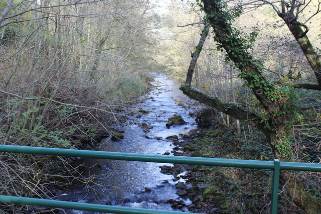
Image: © M J Roscoe Taken: 10 Nov 2016
The river here forms part of the boundary between the Blaenau Gwent (left) and Caerphilly Counties.
Images are licensed for reuse under creativecommons.org/licenses/by-sa/2.0
Image Location
Latitude
51.731074
Longitude
-3.211183