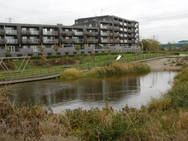
Barking Riverside
Introduction
The photograph on this page of Barking Riverside by Marathon as part of the Geograph project.
The Geograph project started in 2005 with the aim of publishing, organising and preserving representative images for every square kilometre of Great Britain, Ireland and the Isle of Man.
There are currently over 7.5m images from over 14,400 individuals and you can help contribute to the project by visiting https://www.geograph.org.uk

Image: © Marathon Taken: 9 Nov 2016
Barking Riverside is a huge new 11,000 home development on the old Barking Levels. The land was originally grazing marshes consisting of flat, low-lying grasslands, dissected by ditches and it survived in this form until the 1920s. Much of this has now gone although a few of the ditches and water bodies have been incorporated into the new development as seen here. That is probably the best thing about the development as the 'architecture' is, to be kind, nondescript. An interesting article about Barking Riverside can be seen at https://www.theguardian.com/cities/2015/aug/17/no-cafe-pub-doctor-londons-most-isolated-suburb-barking-riverside

