Path, Barnston Lays
Introduction
The photograph on this page of Path, Barnston Lays by Robin Webster as part of the Geograph project.
The Geograph project started in 2005 with the aim of publishing, organising and preserving representative images for every square kilometre of Great Britain, Ireland and the Isle of Man.

There are currently over 7.5m images from over 14,400 individuals and you can help contribute to the project by visiting https://www.geograph.org.uk
Path, Barnston Lays
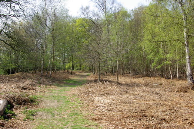
Image: © Robin Webster Taken: 14 Apr 2007
In the southern part of the wood, which has a more acidic flora than the rest, although the geological map shows no distinction, with chalky boulder clay supposedly overlying older deposits.
Images are licensed for reuse under creativecommons.org/licenses/by-sa/2.0
Image Location
Latitude
51.837107
Longitude
0.37708