Renwick Road
Introduction
The photograph on this page of Renwick Road by Marathon as part of the Geograph project.
The Geograph project started in 2005 with the aim of publishing, organising and preserving representative images for every square kilometre of Great Britain, Ireland and the Isle of Man.

There are currently over 7.5m images from over 14,400 individuals and you can help contribute to the project by visiting https://www.geograph.org.uk
Renwick Road
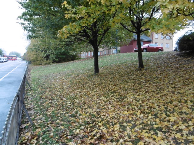
Image: © Marathon Taken: 9 Nov 2016
Renwick Road leads down to the new Barking Riverside development. At the moment it is not the most inspiring location as a number of other Geographs for this square show. It is not helped by the large number of lorries using the roads.
Images are licensed for reuse under creativecommons.org/licenses/by-sa/2.0
Image Location
Latitude
51.525453
Longitude
0.116736