Closed units at Freeport
Introduction
The photograph on this page of Closed units at Freeport by Gerald England as part of the Geograph project.
The Geograph project started in 2005 with the aim of publishing, organising and preserving representative images for every square kilometre of Great Britain, Ireland and the Isle of Man.

There are currently over 7.5m images from over 14,400 individuals and you can help contribute to the project by visiting https://www.geograph.org.uk
Closed units at Freeport
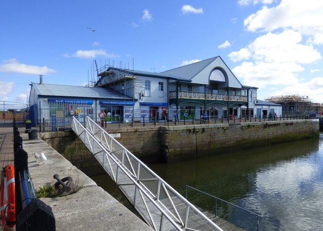
Image: © Gerald England Taken: 29 Aug 2016
Both the former shoe warehouse and the large Food Court Image at the Marina side of Freeport have closed down. Signs indicate that Sports Direct are due to take over one of the units.
Images are licensed for reuse under creativecommons.org/licenses/by-sa/2.0
Image Location
Latitude
53.918029
Longitude
-3.011091