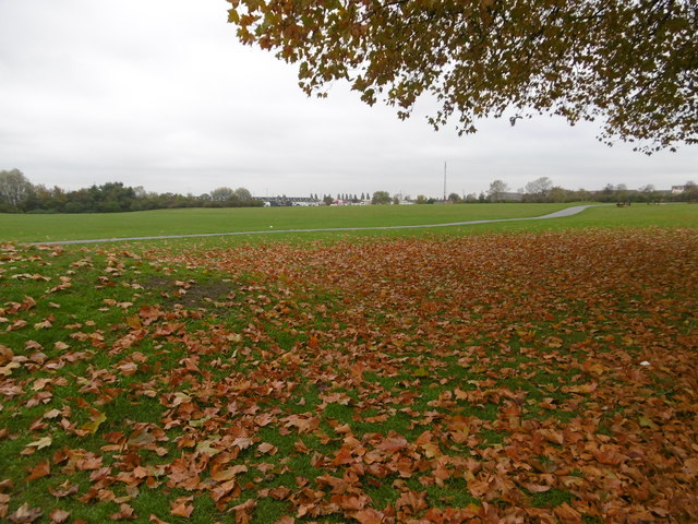
Castle Green
Introduction
The photograph on this page of Castle Green by Marathon as part of the Geograph project.
The Geograph project started in 2005 with the aim of publishing, organising and preserving representative images for every square kilometre of Great Britain, Ireland and the Isle of Man.
There are currently over 7.5m images from over 14,400 individuals and you can help contribute to the project by visiting https://www.geograph.org.uk

Image: © Marathon Taken: 9 Nov 2016
The name dates back over 200 years to a time when the area was rural. The "castle" that gave its name to the place was a castellated house which was built around 1800 and survived until 1938. When the Becontree Estate was built in the 1920s and early 1930s, a strip of open land north of Ripple Road was left as a buffer between housing to the north and land set aside for industry on the former marshland to the south. This is now known as Castle Green. More information about Castle Green can be found at https://en.wikipedia.org/wiki/Castle_Green,_London

