Manor House Care Home, Darite
Introduction
The photograph on this page of Manor House Care Home, Darite by Richard Law as part of the Geograph project.
The Geograph project started in 2005 with the aim of publishing, organising and preserving representative images for every square kilometre of Great Britain, Ireland and the Isle of Man.

There are currently over 7.5m images from over 14,400 individuals and you can help contribute to the project by visiting https://www.geograph.org.uk
Manor House Care Home, Darite
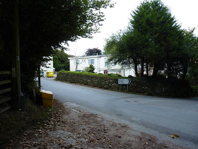
Image: © Richard Law Taken: 11 Oct 2016
A small care home at the road junction between Darite and Higher Tremarcoombe.
Images are licensed for reuse under creativecommons.org/licenses/by-sa/2.0
Image Location
Latitude
50.498252
Longitude
-4.46182