Horse Street
Introduction
The photograph on this page of Horse Street by Bill Boaden as part of the Geograph project.
The Geograph project started in 2005 with the aim of publishing, organising and preserving representative images for every square kilometre of Great Britain, Ireland and the Isle of Man.

There are currently over 7.5m images from over 14,400 individuals and you can help contribute to the project by visiting https://www.geograph.org.uk
Horse Street
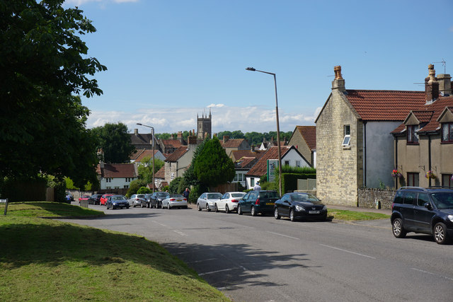
Image: © Bill Boaden Taken: 22 Jul 2016
A branch of the B4060 leading into the centre of Chipping Sodbury. The tower of the parish church can be seen ahead.
Images are licensed for reuse under creativecommons.org/licenses/by-sa/2.0
Image Location
Latitude
51.536887
Longitude
-2.3888