Road and rail at Port Glasgow
Introduction
The photograph on this page of Road and rail at Port Glasgow by Thomas Nugent as part of the Geograph project.
The Geograph project started in 2005 with the aim of publishing, organising and preserving representative images for every square kilometre of Great Britain, Ireland and the Isle of Man.

There are currently over 7.5m images from over 14,400 individuals and you can help contribute to the project by visiting https://www.geograph.org.uk
Road and rail at Port Glasgow
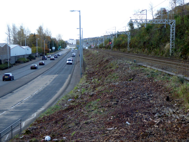
Image: © Thomas Nugent Taken: 6 Nov 2016
Recent shrub clearance has opened up the view of the road from the Glasgow to Gourok line. The Glasgow to Wemyss Bay line runs just behind the trees on the right.
Images are licensed for reuse under creativecommons.org/licenses/by-sa/2.0
Image Location
Latitude
55.936769
Longitude
-4.709428