Ash Lane, Tavernspite
Introduction
The photograph on this page of Ash Lane, Tavernspite by Humphrey Bolton as part of the Geograph project.
The Geograph project started in 2005 with the aim of publishing, organising and preserving representative images for every square kilometre of Great Britain, Ireland and the Isle of Man.

There are currently over 7.5m images from over 14,400 individuals and you can help contribute to the project by visiting https://www.geograph.org.uk
Ash Lane, Tavernspite
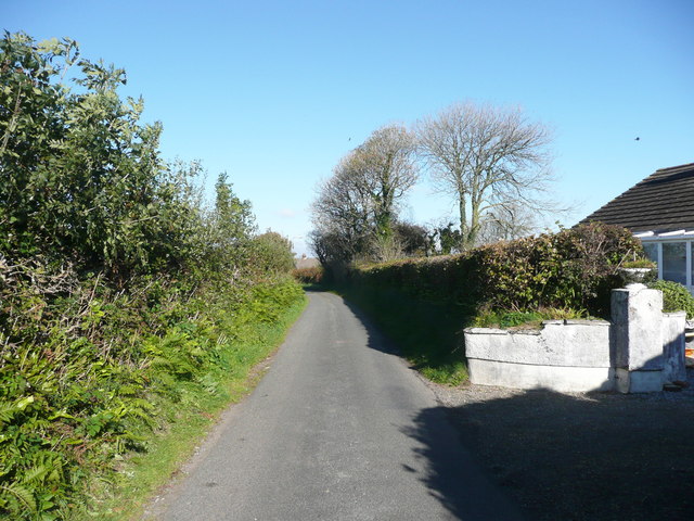
Image: © Humphrey Bolton Taken: 23 Oct 2016
We were trying to see the tumulus, but I had failed to notice the little circular embankment symbol on the 1:25000 map. This is in the field behind the row of houses on the right (to the east). To see the tumulus you would have to enter the field via a gate on the lane to Ludchurch Cross.
Images are licensed for reuse under creativecommons.org/licenses/by-sa/2.0
Image Location
Latitude
51.780026
Longitude
-4.644814