Path alongside Coed Meyrick-moel Nature Reserve, Cwmbran
Introduction
The photograph on this page of Path alongside Coed Meyrick-moel Nature Reserve, Cwmbran by M J Roscoe as part of the Geograph project.
The Geograph project started in 2005 with the aim of publishing, organising and preserving representative images for every square kilometre of Great Britain, Ireland and the Isle of Man.

There are currently over 7.5m images from over 14,400 individuals and you can help contribute to the project by visiting https://www.geograph.org.uk
Path alongside Coed Meyrick-moel Nature Reserve, Cwmbran
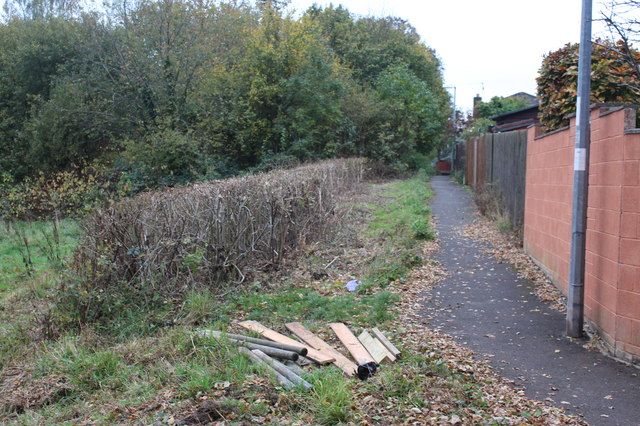
Image: © M J Roscoe Taken: 8 Nov 2016
Public footpath, from The Incline, between Gwent Wildlife Trust's reserve and the rear of Ashleigh Court. The reserve's woodland in the background is a remnant of ancient oak woodland. The timber in the foreground is to repair the steps down into the meadow, left.
Images are licensed for reuse under creativecommons.org/licenses/by-sa/2.0
Image Location
Latitude
51.640783
Longitude
-3.05429