Site of Greenock Navy Buildings
Introduction
The photograph on this page of Site of Greenock Navy Buildings by Lairich Rig as part of the Geograph project.
The Geograph project started in 2005 with the aim of publishing, organising and preserving representative images for every square kilometre of Great Britain, Ireland and the Isle of Man.

There are currently over 7.5m images from over 14,400 individuals and you can help contribute to the project by visiting https://www.geograph.org.uk
Site of Greenock Navy Buildings
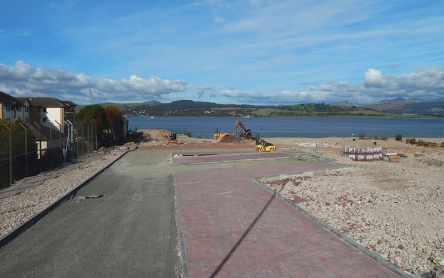
Image: © Lairich Rig Taken: 10 Oct 2016
See Image for more information (and numerous links to other pictures). That picture was taken on the same day, and shows the site from a different angle. Comparison of the present picture with two others (Image / Image), which are roughly equivalent, but which were taken about five months earlier, shows that construction has begun on the cleared site.
Images are licensed for reuse under creativecommons.org/licenses/by-sa/2.0
Image Location
Latitude
55.962498
Longitude
-4.792954