The Incline, Tramway Close, Cwmbran
Introduction
The photograph on this page of The Incline, Tramway Close, Cwmbran by M J Roscoe as part of the Geograph project.
The Geograph project started in 2005 with the aim of publishing, organising and preserving representative images for every square kilometre of Great Britain, Ireland and the Isle of Man.

There are currently over 7.5m images from over 14,400 individuals and you can help contribute to the project by visiting https://www.geograph.org.uk
The Incline, Tramway Close, Cwmbran
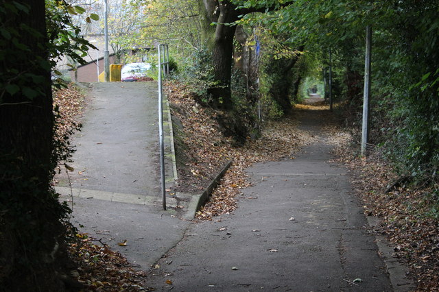
Image: © M J Roscoe Taken: 8 Nov 2016
The incline, now a cycle lane and footpath, follows the route of the dismantled tramway from the former Henllys Colliery down towards the canal in Cwmbran. The path up to the left leads into Tramway Close.
Images are licensed for reuse under creativecommons.org/licenses/by-sa/2.0
Image Location
Latitude
51.641314
Longitude
-3.05517