The western end of Greenock Esplanade
Introduction
The photograph on this page of The western end of Greenock Esplanade by Lairich Rig as part of the Geograph project.
The Geograph project started in 2005 with the aim of publishing, organising and preserving representative images for every square kilometre of Great Britain, Ireland and the Isle of Man.

There are currently over 7.5m images from over 14,400 individuals and you can help contribute to the project by visiting https://www.geograph.org.uk
The western end of Greenock Esplanade
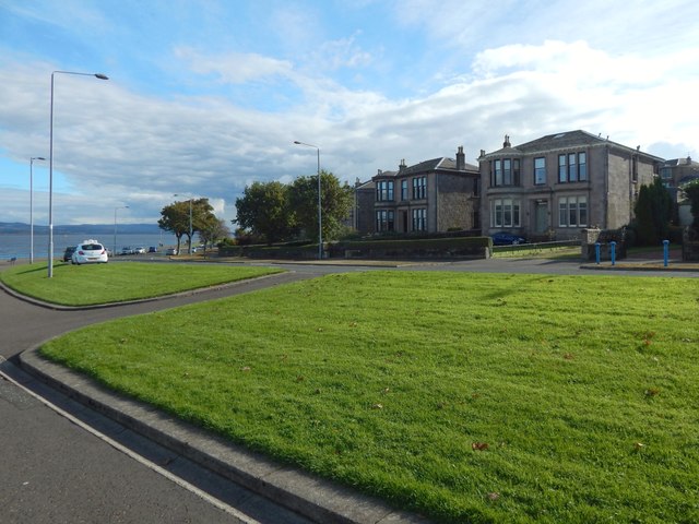
Image: © Lairich Rig Taken: 10 Oct 2016
The nearest of the houses on the right is called Yangtszepoo (after a place in Yangpu District, Shanghai, now usually rendered Yangshupu): see the booklet "A Walk Along Greenock Esplanade".
Images are licensed for reuse under creativecommons.org/licenses/by-sa/2.0
Image Location


Leaflet Map data © OpenStreetMap
Latitude
55.96266
Longitude
-4.78976