Main Street, Croxton Kerrial
Introduction
The photograph on this page of Main Street, Croxton Kerrial by Alan Murray-Rust as part of the Geograph project.
The Geograph project started in 2005 with the aim of publishing, organising and preserving representative images for every square kilometre of Great Britain, Ireland and the Isle of Man.

There are currently over 7.5m images from over 14,400 individuals and you can help contribute to the project by visiting https://www.geograph.org.uk
Main Street, Croxton Kerrial
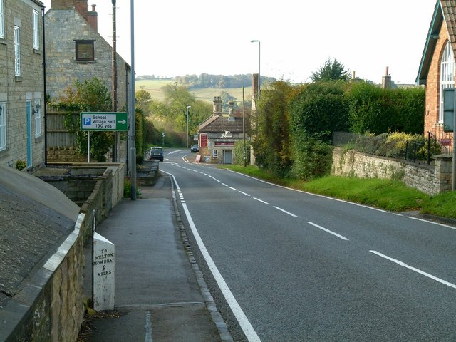
Image: © Alan Murray-Rust Taken: 7 Nov 2016
Otherwise the A607 trunk road. The presence of the milepost indicates that this was a turnpike road, in this instance linking Grantham and Melton Mowbray. The milepost is Listed Grade II and can be seen close up here http://www.geograph.org.uk/photo/5186968 .
Images are licensed for reuse under creativecommons.org/licenses/by-sa/2.0
Image Location
Latitude
52.852841
Longitude
-0.761298