Silverdale: Kents Lane Community Building
Introduction
The photograph on this page of Silverdale: Kents Lane Community Building by Jonathan Hutchins as part of the Geograph project.
The Geograph project started in 2005 with the aim of publishing, organising and preserving representative images for every square kilometre of Great Britain, Ireland and the Isle of Man.

There are currently over 7.5m images from over 14,400 individuals and you can help contribute to the project by visiting https://www.geograph.org.uk
Silverdale: Kents Lane Community Building
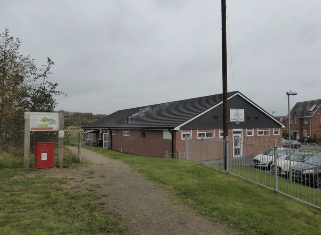
Image: © Jonathan Hutchins Taken: 6 Nov 2016
'The home of Silverdale Athletic FC founded 1980'. On the left is a path and signboard for Silverdale Country Park.
Images are licensed for reuse under creativecommons.org/licenses/by-sa/2.0
Image Location
Latitude
53.017807
Longitude
-2.281096