Milestone - Calder Bridge 2
Introduction
The photograph on this page of Milestone - Calder Bridge 2 by Adrian Dust as part of the Geograph project.
The Geograph project started in 2005 with the aim of publishing, organising and preserving representative images for every square kilometre of Great Britain, Ireland and the Isle of Man.

There are currently over 7.5m images from over 14,400 individuals and you can help contribute to the project by visiting https://www.geograph.org.uk
Milestone - Calder Bridge 2
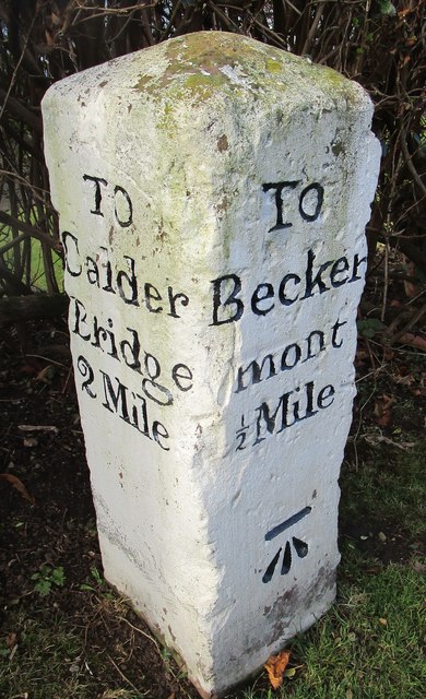
Image: © Adrian Dust Taken: 7 Nov 2016
The OS cut mark on the stone marks a point 82.320m above mean sea level.
Images are licensed for reuse under creativecommons.org/licenses/by-sa/2.0
Image Location
Latitude
54.461834
Longitude
-3.492683