Where Higher and Lower meet
Introduction
The photograph on this page of Where Higher and Lower meet by Neil Owen as part of the Geograph project.
The Geograph project started in 2005 with the aim of publishing, organising and preserving representative images for every square kilometre of Great Britain, Ireland and the Isle of Man.

There are currently over 7.5m images from over 14,400 individuals and you can help contribute to the project by visiting https://www.geograph.org.uk
Where Higher and Lower meet
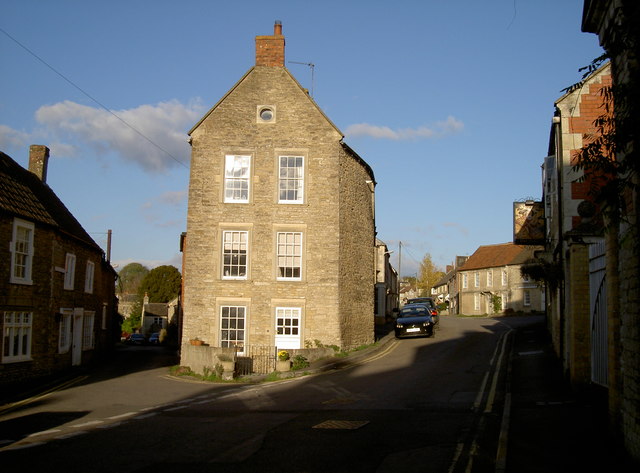
Image: © Neil Owen Taken: 7 Nov 2016
The streets in Rode reach this old part where the village cross used to stand.
Images are licensed for reuse under creativecommons.org/licenses/by-sa/2.0
Image Location
Latitude
51.283357
Longitude
-2.282702