West School House, Chopwell
Introduction
The photograph on this page of West School House, Chopwell by Robert Graham as part of the Geograph project.
The Geograph project started in 2005 with the aim of publishing, organising and preserving representative images for every square kilometre of Great Britain, Ireland and the Isle of Man.

There are currently over 7.5m images from over 14,400 individuals and you can help contribute to the project by visiting https://www.geograph.org.uk
West School House, Chopwell
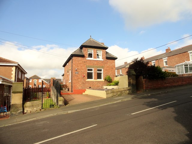
Image: © Robert Graham Taken: 17 Aug 2016
On Whittonstall Road in the centre of the old mining village of Chopwell. Originally a school here. This was probably the masters house. Dates from early C20.
Images are licensed for reuse under creativecommons.org/licenses/by-sa/2.0
Image Location
Latitude
54.918727
Longitude
-1.820717