Main road through Fownhope
Introduction
The photograph on this page of Main road through Fownhope by Jaggery as part of the Geograph project.
The Geograph project started in 2005 with the aim of publishing, organising and preserving representative images for every square kilometre of Great Britain, Ireland and the Isle of Man.

There are currently over 7.5m images from over 14,400 individuals and you can help contribute to the project by visiting https://www.geograph.org.uk
Main road through Fownhope
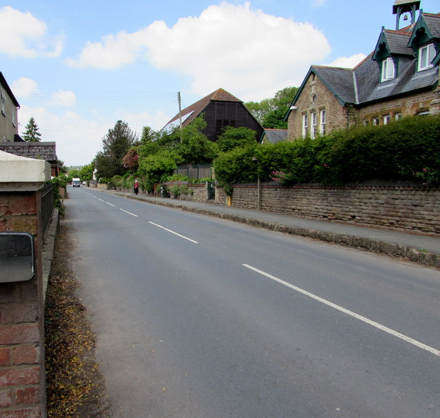
Image: © Jaggery Taken: 29 May 2016
Looking NW along the B4224, the main road through Fownhope. The Old School http://www.geograph.org.uk/photo/5185934 and Fownhope New Memorial Hall http://www.geograph.org.uk/photo/5185914 are on the right.
Images are licensed for reuse under creativecommons.org/licenses/by-sa/2.0
Image Location
Latitude
52.0067
Longitude
-2.614301