Path down to Ynys Hywel Camping Barn
Introduction
The photograph on this page of Path down to Ynys Hywel Camping Barn by M J Roscoe as part of the Geograph project.
The Geograph project started in 2005 with the aim of publishing, organising and preserving representative images for every square kilometre of Great Britain, Ireland and the Isle of Man.

There are currently over 7.5m images from over 14,400 individuals and you can help contribute to the project by visiting https://www.geograph.org.uk
Path down to Ynys Hywel Camping Barn
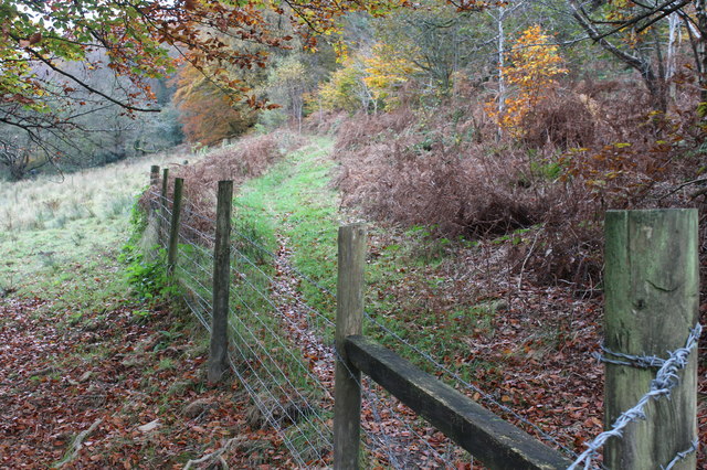
Image: © M J Roscoe Taken: 3 Nov 2016
A grass footpath, recently cleared of encroaching vegetation, above Cwmfelinfach, a field for pigs on the left and woodland to the right.
Images are licensed for reuse under creativecommons.org/licenses/by-sa/2.0
Image Location
Latitude
51.611682
Longitude
-3.174063