Thatchers Lane
Introduction
The photograph on this page of Thatchers Lane by Robin Webster as part of the Geograph project.
The Geograph project started in 2005 with the aim of publishing, organising and preserving representative images for every square kilometre of Great Britain, Ireland and the Isle of Man.

There are currently over 7.5m images from over 14,400 individuals and you can help contribute to the project by visiting https://www.geograph.org.uk
Thatchers Lane
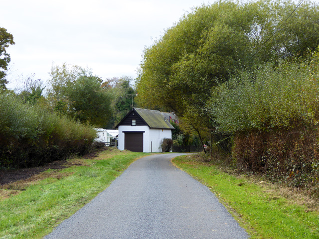
Image: © Robin Webster Taken: 6 Nov 2016
So signed at each end, yet map makers also give the name to other nearby roads.
Images are licensed for reuse under creativecommons.org/licenses/by-sa/2.0
Image Location
Latitude
50.789216
Longitude
-1.747427