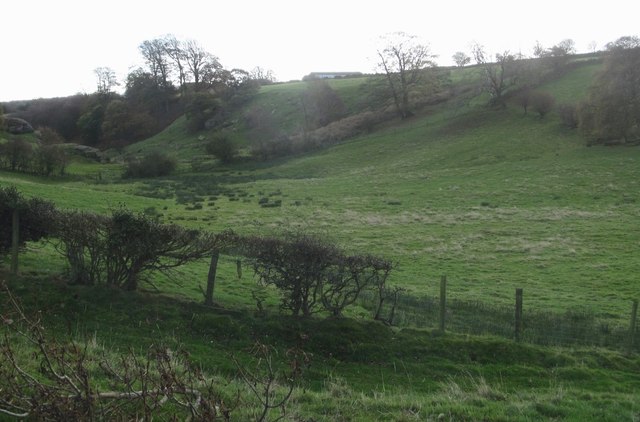
Dry valley at Eavestone
Introduction
The photograph on this page of Dry valley at Eavestone by Gordon Hatton as part of the Geograph project.
The Geograph project started in 2005 with the aim of publishing, organising and preserving representative images for every square kilometre of Great Britain, Ireland and the Isle of Man.
There are currently over 7.5m images from over 14,400 individuals and you can help contribute to the project by visiting https://www.geograph.org.uk

Image: © Gordon Hatton Taken: 5 Nov 2016
Dry in the sense that there is no surface stream, this valley is typical of several in the country to the west of Ripon, and marks the course of glacial meltwater which scoured such valleys around the western edge of the Vale of York glacier towards the end of the last ice age. Some of the waters that once rushed through here will have found an exit down the valley which now contains Eavestone Lake, but a meltwater course can be followed south eastwards past a dip in the B6265 at Image and then on down Picking Gill, along the line of Markington Beck and then down Cayton Gill towards Ripley. Other such features can be found further east [eg in Studley Park at Image] as the main glacier shrank and new channels developed at a lower altitude.

