Cut Mark: South Clifton, Marshgate Farm
Introduction
The photograph on this page of Cut Mark: South Clifton, Marshgate Farm by Brian Westlake as part of the Geograph project.
The Geograph project started in 2005 with the aim of publishing, organising and preserving representative images for every square kilometre of Great Britain, Ireland and the Isle of Man.

There are currently over 7.5m images from over 14,400 individuals and you can help contribute to the project by visiting https://www.geograph.org.uk
Cut Mark: South Clifton, Marshgate Farm
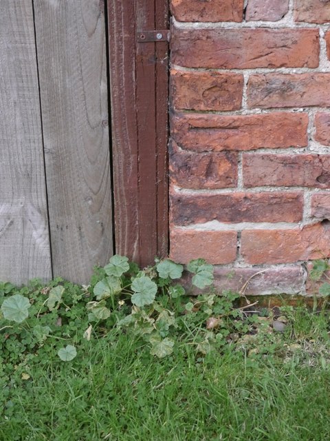
Image: © Brian Westlake Taken: 27 Oct 2016
Cut bench mark on a farm building, now converted into accommodation. See http://www.geograph.org.uk/photo/5184393 for a wider view and http://www.bench-marks.org.uk/bm44049 for details.
Images are licensed for reuse under creativecommons.org/licenses/by-sa/2.0
Image Location
Latitude
53.222085
Longitude
-0.773588