OS flush bracket - Polperro, Raphael Farm
Introduction
The photograph on this page of OS flush bracket - Polperro, Raphael Farm by Richard Law as part of the Geograph project.
The Geograph project started in 2005 with the aim of publishing, organising and preserving representative images for every square kilometre of Great Britain, Ireland and the Isle of Man.

There are currently over 7.5m images from over 14,400 individuals and you can help contribute to the project by visiting https://www.geograph.org.uk
OS flush bracket - Polperro, Raphael Farm
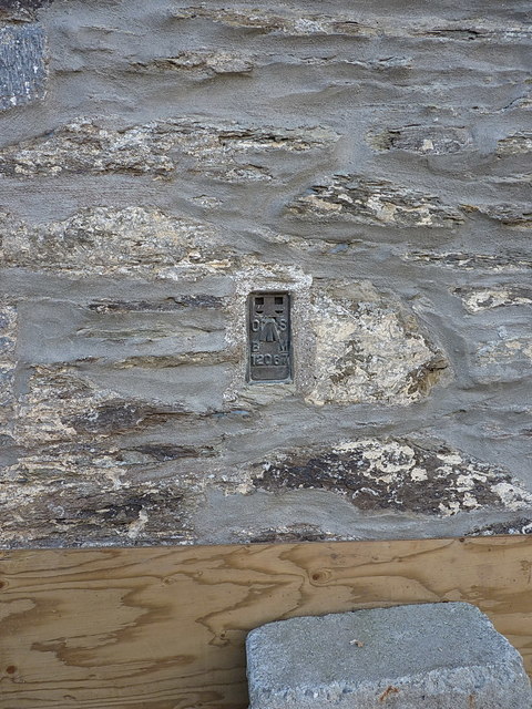
Image: © Richard Law Taken: 10 Oct 2016
Flush Bracket 12067 affixed to the wall of the farmhouse; it was levelled in 1973 at 106.891m above Ordnance Datum Newlyn.
Images are licensed for reuse under creativecommons.org/licenses/by-sa/2.0
Image Location


Leaflet Map data © OpenStreetMap
Latitude
50.330044
Longitude
-4.540276