Acthorpe Top over Louth's Fairfield Road Industrial Estate to Mablethorpe
Introduction
The photograph on this page of Acthorpe Top over Louth's Fairfield Road Industrial Estate to Mablethorpe by Chris as part of the Geograph project.
The Geograph project started in 2005 with the aim of publishing, organising and preserving representative images for every square kilometre of Great Britain, Ireland and the Isle of Man.

There are currently over 7.5m images from over 14,400 individuals and you can help contribute to the project by visiting https://www.geograph.org.uk
Acthorpe Top over Louth's Fairfield Road Industrial Estate to Mablethorpe
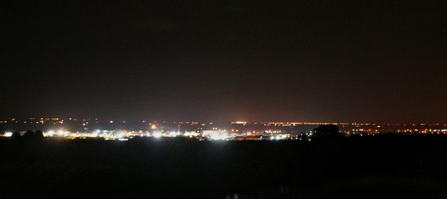
Image: © Chris Taken: 27 Oct 2016
Mablethorpe in Image
Images are licensed for reuse under creativecommons.org/licenses/by-sa/2.0
Image Location
Latitude
53.382896
Longitude
-0.006524