Nidderdale through the Overburden
Introduction
The photograph on this page of Nidderdale through the Overburden by Matthew Hatton as part of the Geograph project.
The Geograph project started in 2005 with the aim of publishing, organising and preserving representative images for every square kilometre of Great Britain, Ireland and the Isle of Man.

There are currently over 7.5m images from over 14,400 individuals and you can help contribute to the project by visiting https://www.geograph.org.uk
Nidderdale through the Overburden
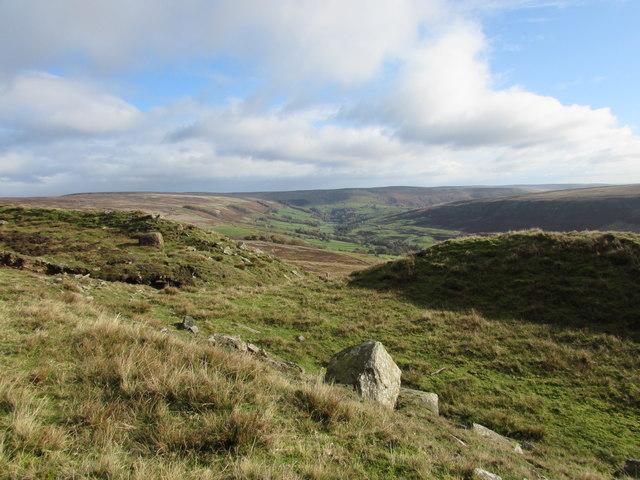
Image: © Matthew Hatton Taken: 5 Nov 2016
Carle Fell Side Quarry waste or overburden was dumped at the far end of the quarry.
Images are licensed for reuse under creativecommons.org/licenses/by-sa/2.0
Image Location


Leaflet Map data © OpenStreetMap
Latitude
54.194194
Longitude
-1.881644