Maxton Graveyard
Introduction
The photograph on this page of Maxton Graveyard by Mary and Angus Hogg as part of the Geograph project.
The Geograph project started in 2005 with the aim of publishing, organising and preserving representative images for every square kilometre of Great Britain, Ireland and the Isle of Man.

There are currently over 7.5m images from over 14,400 individuals and you can help contribute to the project by visiting https://www.geograph.org.uk
Maxton Graveyard
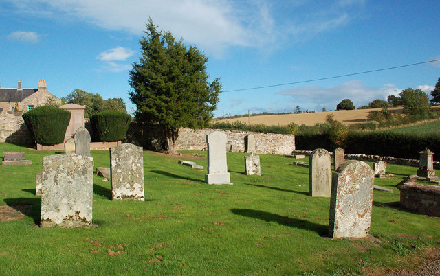
Image: © Mary and Angus Hogg Taken: 29 Sep 2016
This little graveyard contains some interesting old symbolic stones.
Images are licensed for reuse under creativecommons.org/licenses/by-sa/2.0
Image Location


Leaflet Map data © OpenStreetMap
Latitude
55.565527
Longitude
-2.619472