Field edge and the nascent River Brant
Introduction
The photograph on this page of Field edge and the nascent River Brant by Jonathan Thacker as part of the Geograph project.
The Geograph project started in 2005 with the aim of publishing, organising and preserving representative images for every square kilometre of Great Britain, Ireland and the Isle of Man.

There are currently over 7.5m images from over 14,400 individuals and you can help contribute to the project by visiting https://www.geograph.org.uk
Field edge and the nascent River Brant
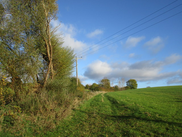
Image: © Jonathan Thacker Taken: 5 Nov 2016
The source of the River Brant is a spring somewhere near the trees in the background of the picture.
Images are licensed for reuse under creativecommons.org/licenses/by-sa/2.0
Image Location
Latitude
52.994203
Longitude
-0.641638