Near Moira
Introduction
The photograph on this page of Near Moira by Robert Ashby as part of the Geograph project.
The Geograph project started in 2005 with the aim of publishing, organising and preserving representative images for every square kilometre of Great Britain, Ireland and the Isle of Man.

There are currently over 7.5m images from over 14,400 individuals and you can help contribute to the project by visiting https://www.geograph.org.uk
Near Moira
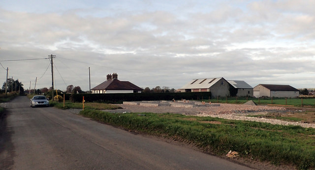
Image: © Robert Ashby Taken: 2 Nov 2016
Looking WNW along Cockhill Road. Looks like another house in the early stages of construction.
Images are licensed for reuse under creativecommons.org/licenses/by-sa/2.0
Image Location
Latitude
54.481908
Longitude
-6.137125