Where Lower and Higher meet
Introduction
The photograph on this page of Where Lower and Higher meet by Neil Owen as part of the Geograph project.
The Geograph project started in 2005 with the aim of publishing, organising and preserving representative images for every square kilometre of Great Britain, Ireland and the Isle of Man.

There are currently over 7.5m images from over 14,400 individuals and you can help contribute to the project by visiting https://www.geograph.org.uk
Where Lower and Higher meet
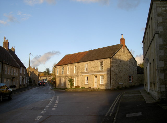
Image: © Neil Owen Taken: 4 Nov 2016
Rode's main streets converge. Notably, the village has changed name over the years. Originally recognised as Rode, it became known as Road around 1710 following implications over a will. It remained so (and old maps show it as such) until the council decision of 1910 brought about the return of the old (and current) spelling - Rode.
Images are licensed for reuse under creativecommons.org/licenses/by-sa/2.0
Image Location
Latitude
51.283447
Longitude
-2.282702