Lane to Burracott
Introduction
The photograph on this page of Lane to Burracott by Derek Harper as part of the Geograph project.
The Geograph project started in 2005 with the aim of publishing, organising and preserving representative images for every square kilometre of Great Britain, Ireland and the Isle of Man.

There are currently over 7.5m images from over 14,400 individuals and you can help contribute to the project by visiting https://www.geograph.org.uk
Lane to Burracott
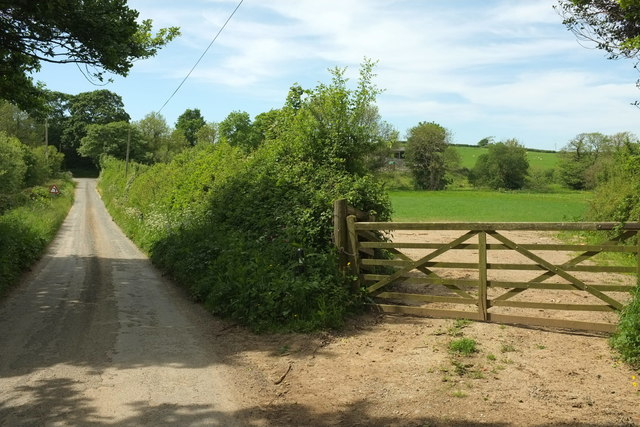
Image: © Derek Harper Taken: 31 May 2016
A straight stretch on a circuitous lane, but there's a sharp bend ahead just after the lane has crossed the Jacob Stream by Burracott, one of whose buildings can be seen above the gate.
Images are licensed for reuse under creativecommons.org/licenses/by-sa/2.0
Image Location


Leaflet Map data © OpenStreetMap
Latitude
50.775714
Longitude
-4.513107