A planted field by Glaziers Lane
Introduction
The photograph on this page of A planted field by Glaziers Lane by Bill Boaden as part of the Geograph project.
The Geograph project started in 2005 with the aim of publishing, organising and preserving representative images for every square kilometre of Great Britain, Ireland and the Isle of Man.

There are currently over 7.5m images from over 14,400 individuals and you can help contribute to the project by visiting https://www.geograph.org.uk
A planted field by Glaziers Lane
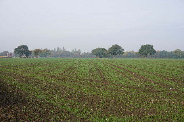
Image: © Bill Boaden Taken: 31 Oct 2016
A couple of houses of the village of Wigshaw can be seen, while the trees ahead obscure Culcheth.
Images are licensed for reuse under creativecommons.org/licenses/by-sa/2.0
Image Location
Latitude
53.44637
Longitude
-2.527379