Crop east of Marhamchurch
Introduction
The photograph on this page of Crop east of Marhamchurch by Derek Harper as part of the Geograph project.
The Geograph project started in 2005 with the aim of publishing, organising and preserving representative images for every square kilometre of Great Britain, Ireland and the Isle of Man.

There are currently over 7.5m images from over 14,400 individuals and you can help contribute to the project by visiting https://www.geograph.org.uk
Crop east of Marhamchurch
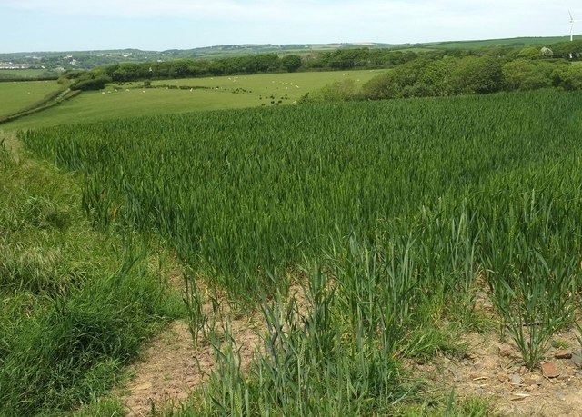
Image: © Derek Harper Taken: 31 May 2016
Looking to the left from the same gate as Image, towards the head of the valley of a tributary of the Neet or Strat.
Images are licensed for reuse under creativecommons.org/licenses/by-sa/2.0
Image Location
Latitude
50.807575
Longitude
-4.51212