Hereford's medieval defences marker on The Embankment
Introduction
The photograph on this page of Hereford's medieval defences marker on The Embankment by Jaggery as part of the Geograph project.
The Geograph project started in 2005 with the aim of publishing, organising and preserving representative images for every square kilometre of Great Britain, Ireland and the Isle of Man.

There are currently over 7.5m images from over 14,400 individuals and you can help contribute to the project by visiting https://www.geograph.org.uk
Hereford's medieval defences marker on The Embankment
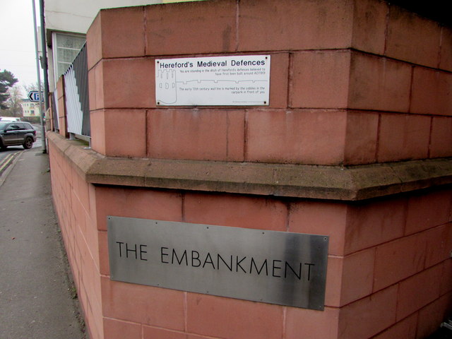
Image: © Jaggery Taken: 31 Oct 2016
The Embankment http://www.geograph.org.uk/photo/1010663 is a modern block of flats on the west side of Bath Road. The marker states "You are standing in the ditch of Hereford's defences believed to have first been built around AD1189".
Images are licensed for reuse under creativecommons.org/licenses/by-sa/2.0
Image Location
Latitude
52.055699
Longitude
-2.710355