Kings Hill West Malling
Introduction
The photograph on this page of Kings Hill West Malling by Ron Lee as part of the Geograph project.
The Geograph project started in 2005 with the aim of publishing, organising and preserving representative images for every square kilometre of Great Britain, Ireland and the Isle of Man.

There are currently over 7.5m images from over 14,400 individuals and you can help contribute to the project by visiting https://www.geograph.org.uk
Kings Hill West Malling
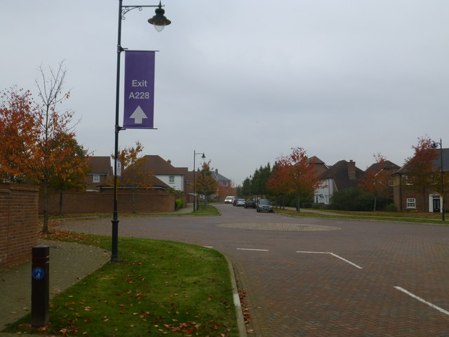
Image: © Ron Lee Taken: 29 Oct 2016
An upmarket direction sign in an upmarket area
Images are licensed for reuse under creativecommons.org/licenses/by-sa/2.0
Image Location
Latitude
51.272255
Longitude
0.42064