Path near Greenland Farm
Introduction
The photograph on this page of Path near Greenland Farm by Lairich Rig as part of the Geograph project.
The Geograph project started in 2005 with the aim of publishing, organising and preserving representative images for every square kilometre of Great Britain, Ireland and the Isle of Man.

There are currently over 7.5m images from over 14,400 individuals and you can help contribute to the project by visiting https://www.geograph.org.uk
Path near Greenland Farm
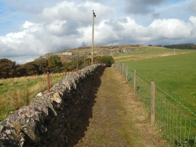
Image: © Lairich Rig Taken: 21 Oct 2016
This is a view uphill. For a view down the same part of the path, see Image; the present picture was taken from near the gate that can be seen in that picture. Farther ahead, the path runs alongside Image, which can be seen in the left background: Image
Images are licensed for reuse under creativecommons.org/licenses/by-sa/2.0
Image Location
Latitude
55.942326
Longitude
-4.5109