Stour Sailing Club, Manningtree
Introduction
The photograph on this page of Stour Sailing Club, Manningtree by Robin Webster as part of the Geograph project.
The Geograph project started in 2005 with the aim of publishing, organising and preserving representative images for every square kilometre of Great Britain, Ireland and the Isle of Man.

There are currently over 7.5m images from over 14,400 individuals and you can help contribute to the project by visiting https://www.geograph.org.uk
Stour Sailing Club, Manningtree
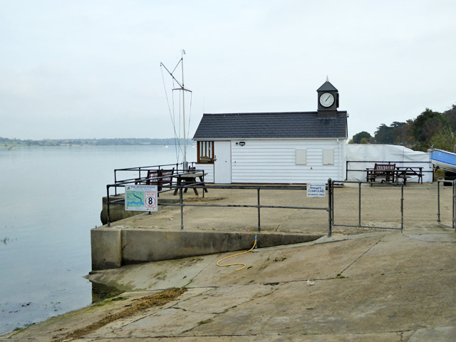
Image: © Robin Webster Taken: 30 Oct 2016
This lookout and small compound is some distance from the main onshore boat storage area, further west along Quay Street. The clubhouse is on yet another site, on the south side of Quay Street just cross the road from here.
Images are licensed for reuse under creativecommons.org/licenses/by-sa/2.0
Image Location
Latitude
51.945803
Longitude
1.066355