East end of High Street, Manningtree
Introduction
The photograph on this page of East end of High Street, Manningtree by Robin Webster as part of the Geograph project.
The Geograph project started in 2005 with the aim of publishing, organising and preserving representative images for every square kilometre of Great Britain, Ireland and the Isle of Man.

There are currently over 7.5m images from over 14,400 individuals and you can help contribute to the project by visiting https://www.geograph.org.uk
East end of High Street, Manningtree
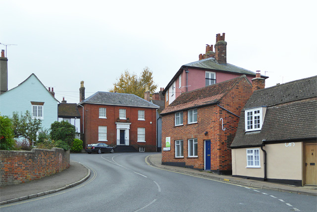
Image: © Robin Webster Taken: 30 Oct 2016
The far bend is mapped as Wherry Corner, although not a street name. Was there a pub of that name once? It has never been indicated on maps.
Images are licensed for reuse under creativecommons.org/licenses/by-sa/2.0
Image Location
Latitude
51.945358
Longitude
1.066179